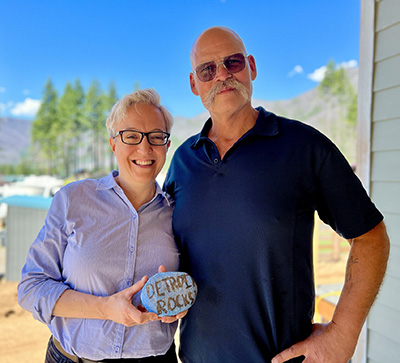
News for those who live, work and play in the Santiam Canyon

Wildfire risk maps again postponed

The wildfire risk maps that the state is developing to assist in fire prevention have been delayed once again. The maps were mandated by Senate Bill 762, the 2021 legislation that was designed to serve […]

The city of Detroit, which was virtually flattened by the 2020 wildfires, rates as a comparatively low fire risk in new maps released by the Oregon Department of Forestry and Oregon State University. The reason for that is that the fuel loads have been reduced dramatically.

Fire risk maps will change property codes

Santiam Canyon residents have the ability to learn the fire risk that exists with their properties now that the Oregon Department of Forestry and Oregon State University’s College of Forestry have released a wildfire risks […]